'%3E%3Cmask id='b' fill='%23fff'%3E%3Cuse xlink:href='%23a'/%3E%3C/mask%3E%3Cuse fill='%23414141' xlink:href='%23a'/%3E%3Cg mask='url(%23b)' fill='%23414141'%3E%3Cpath d='M-160-170h300v300h-300z'/%3E%3C/g%3E%3C/g%3E%3C/g%3E%3C/svg%3E)
Tims Ford Reservoir Land Management Plan
Reservoir Land Management Plans (RLMP) effectively guide land use approvals, private water use facility permitting, and resource management decisions on TVA-managed public land. The Tims Ford RLMP was approved by the TVA Chief Executive Officer (CEO) on August 10, 2026.
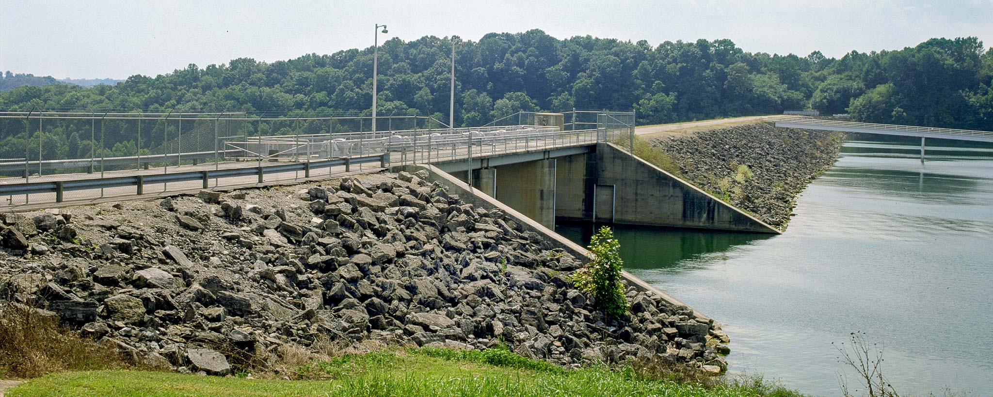
Tim’s Ford Reservoir is an impoundment of the Elk River formed by Tim’s Ford Dam, which is located at Elk River mile 133.3. Tim’s Ford Reservoir is situated in Franklin and Moore counties in middle Tennessee.
The Tims Ford Blueway is a collection of paddle trails that meander through beautiful Tims Ford Reservoir and its tributaries in middle Tennessee. There are plenty of options to satisfy a family looking for a short day trip or individuals interested in a longer overnight camping trip.
Scope
The scope of the 2026 Tims Ford RLMP is 4,685.5 acres of TVA public land and the reservoir property is divided into 161 parcels. The Tims Ford RLMP contains a regional overview, information about the reservoir and descriptions of each parcel of land. The reservoir property is divided into 161 parcels, and each parcel is assigned a single land use allocation zone. Descriptions of the allowable land uses within each land planning zone are available here.
The Tims Ford RLMP is consistent with the TVA Land Policy, Natural Resource Plan (NRP), Comprehensive Valleywide Land Plan (CVLP), and TVA’s goals for managing natural resources on public lands. RLMPs guide land use approvals, private water-use facility permitting, and resource management decisions on TVA-managed public land.
Tims Ford Reservoir Land Management Plan
Grandfathered Dock Information Packet
Zone 7 with Restrictions Information Packet
Maps
Use the GIS Viewer Map to find individual parcels and land use allocations for TVA reservoir property. Click on individual parcels to find out more information about a piece of TVA property. Please note that parcel descriptions are included in the interactive map viewer for convenience, but may have been altered from the original description due to character length restrictions. Please reference the appropriate Reservoir Land Management Plan for the complete parcel descriptions. Also, please note that parcel descriptions are representative of the time in which the plans were written; some information may be out of date such as available facilities or names of commercial operations.
Download Map (PDF)
How to Use the Viewer Map (PDF)
Land Allocation Acreage
TVA land around Tims Ford Reservoir has been allocated for certain land
uses as summarized in the table below.
Allocation Designation1 | Acreage2 | |
Zone 2 | Project Operations | 477.6 |
Zone 3 | Sensitive Resource Management | 366.3 |
Zone 4 | Natural Resource Conservation | 2,680.3 |
Zone 5 | Industrial | 0.2 |
Zone 6 | Developed Recreation | 641.7 |
Zone 7 | Shoreline Access | 519.3 |
Total | 4,685.5 | |
1Zone 1 is Non-TVA Shoreland with TVA land rights and does not change as a result of the lands planning process.
2Rounded to the nearest tenth of an acre.
Environmental Review
TVA’s land planning methodology incorporates the environmental review process established under the National Environmental Policy Act (NEPA). NEPA requires federal agencies to consider the effects of their proposed projects on the human and natural environment before final decisions are made.
Tims Ford Reservoir Environmental Review
It is important to note that Plans are programmatic plans that designate potential allowable land uses as defined in the land use zone definitions and do not involve specific land actions. TVA would complete an appropriate site-specific environmental review prior to proposed development or activity on TVA public land.